


三原地図さんぽ app for iPhone and iPad
Developer: Stroly Inc.
First release : 30 Mar 2016
App size: 32.71 Mb
With Mihara Walk, you can see your location on the illustrated or sightseeing maps in Mihara City in Hiroshima Prefecture, Japan.
[OVERVIEW]
"Stroly" is the series of apps which features the display of the users current location on any kinds of historical or illustrated maps.
Please enjoy strolling around with this app. From the Stroly series, released the Mihara City version.
[App Features]
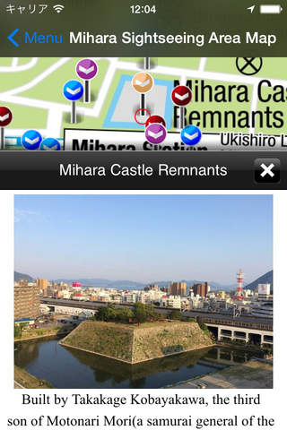
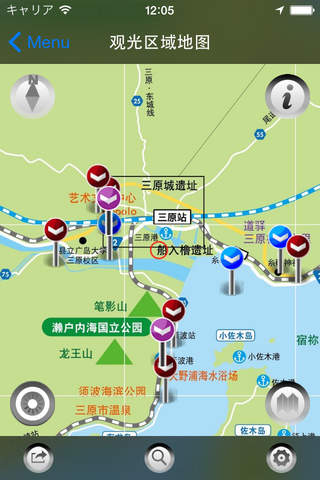
The users current location shows up on a variety of historical maps Indicated current location moves, which provides the users with the experience of strolling around in historical maps. By touching a landmark icon displayed on the map, the user could get information of historical sites around. Mihara Walk has a variety of maps classified by the areas, users could enjoy regional historical maps. The illustrated maps can be switched to StandardMaps.
【NOTICE】
1. Stroly shows your location using GPS. Using Stroly on iPod Touch or iPad WiFi might not show accurate current position.
2. No modification is done to the description of original maps used in this app.
3. We cannot guarantee 100% accuracy of the maps and locations because of the distortion of the original maps and the GPS accuracy.
We would like you to enjoy the original uncertainty of the historical maps.
3. We have no intention of violating human rights by disclosing the historical maps.